Gallery: BAK13
If you can read this, your browser is unable to properly import or use
Cascading Style Sheets (CSS). Please upgrade to a more modern browser.
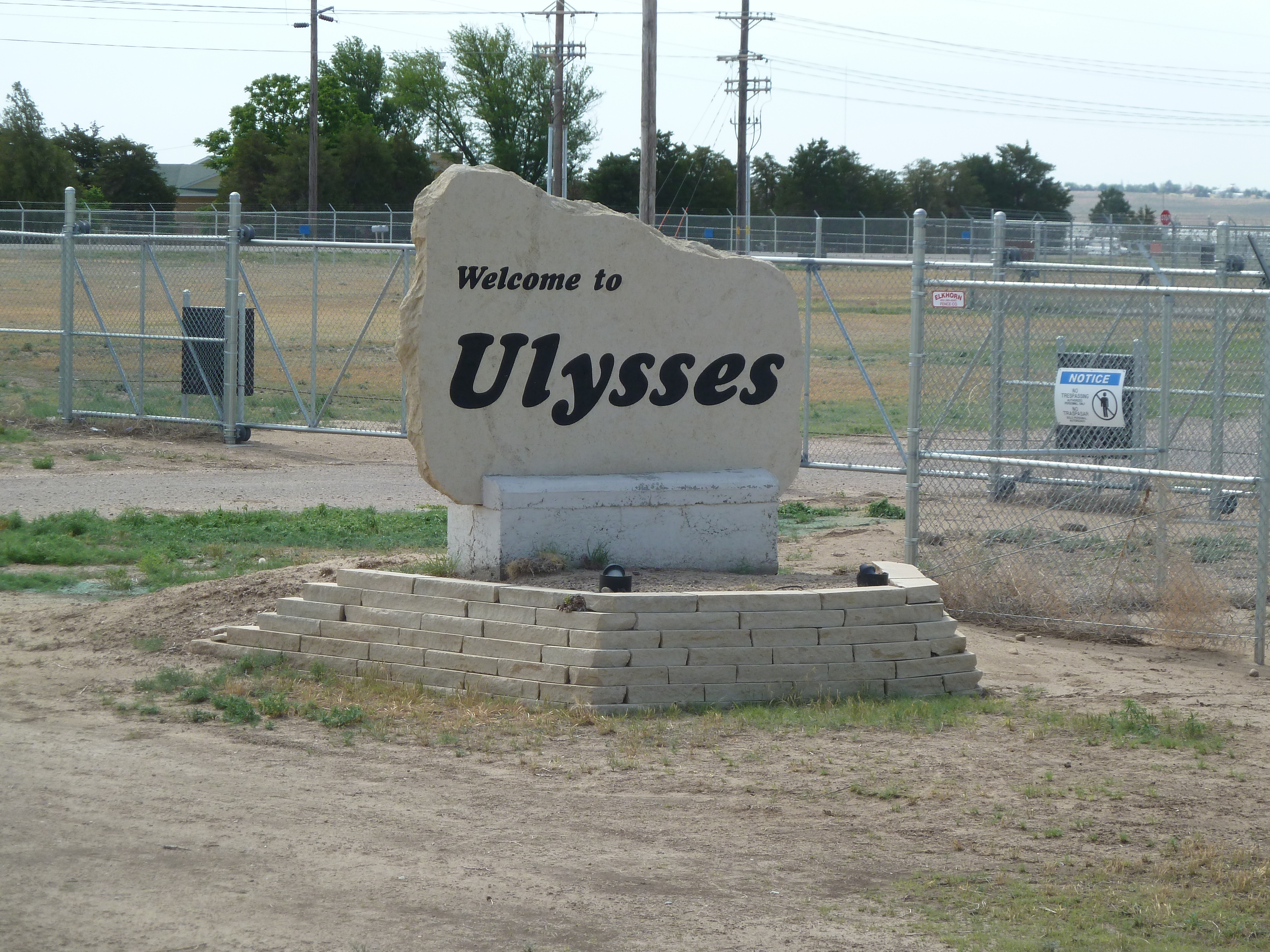
The official route of BAK Day 1 was from Johnson City to Sublette, and was about the second half of my full day's century ride. My run to the border and back is documented in the previous gallery for Johnson City. A good spaghetti lunch in Ulysses came none too soon after all that riding. The old carbon black plant near Santana was an interesting landmark that I had noted on Google Maps before the ride.
My complete GPS-mapped ride report for BAK Day 1 can be read at Garmin Connect. Note that my little Forerunner's battery died at about 98 miles; I have an Endomondo trace from my phone as a backup for you doubters!
Each thumbnail below links to a much larger image of about 4.5 MB in size.
 |
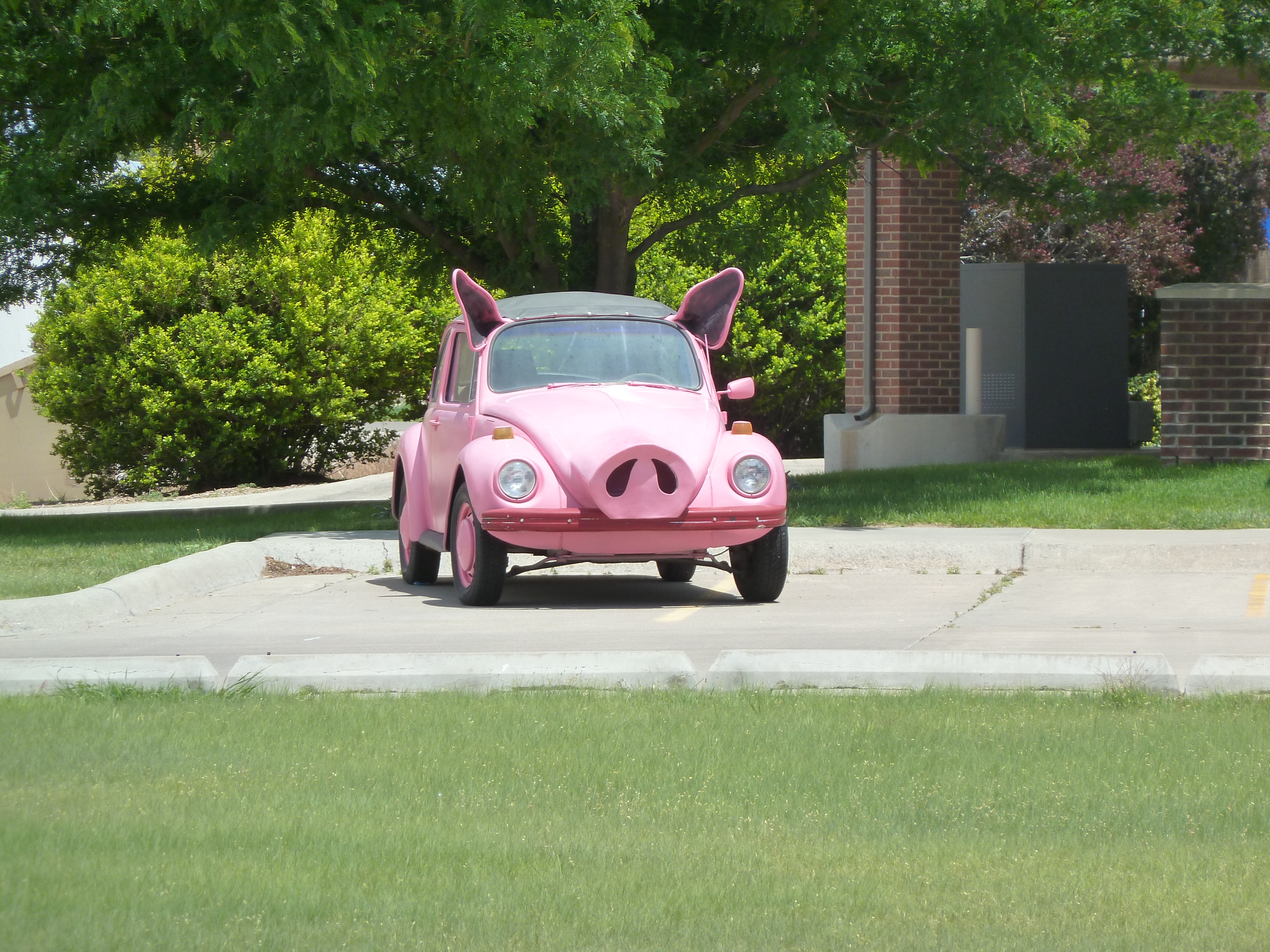 Ever tasted barbecue Volkswagen? |
 |
 |
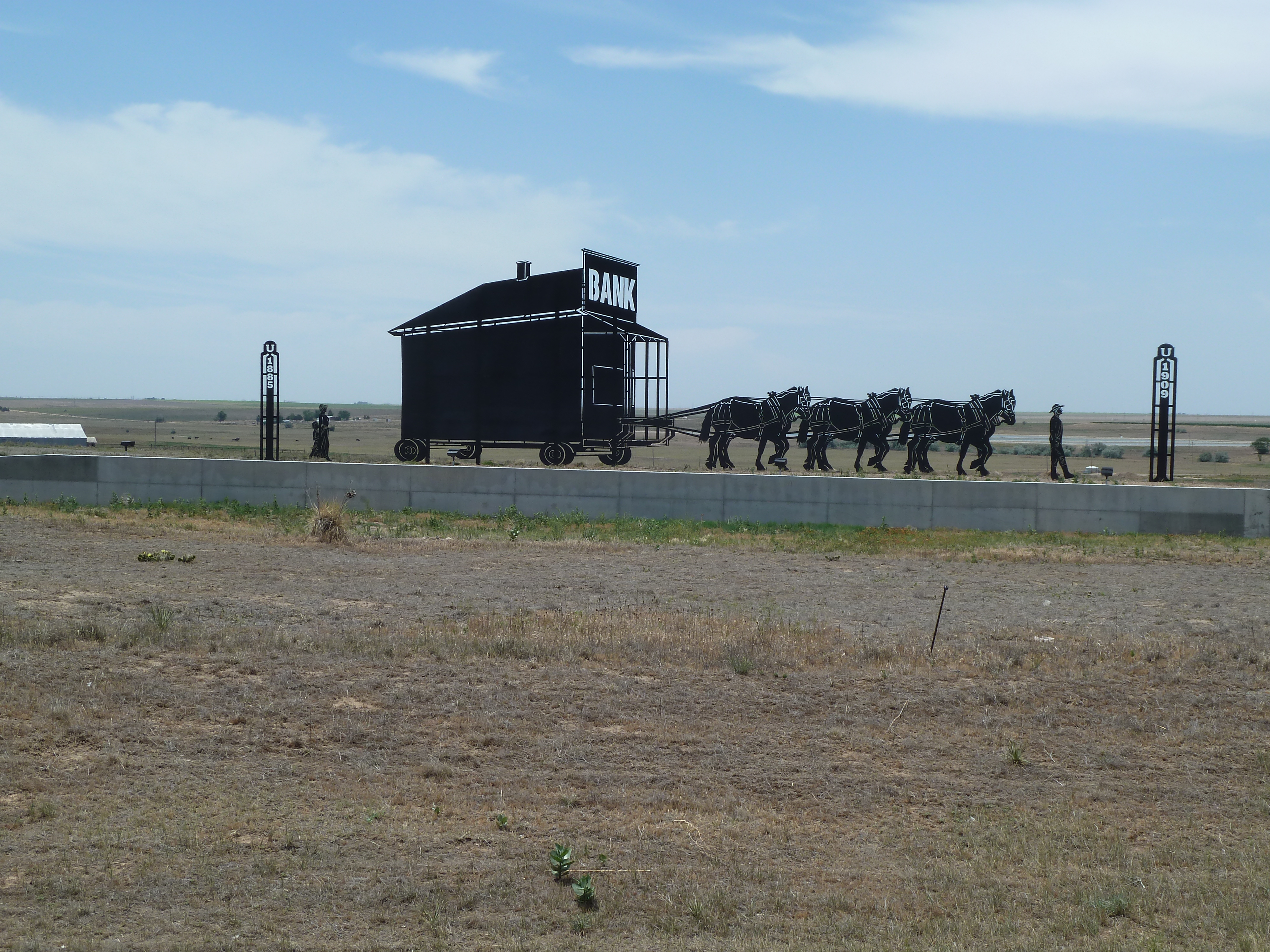 |
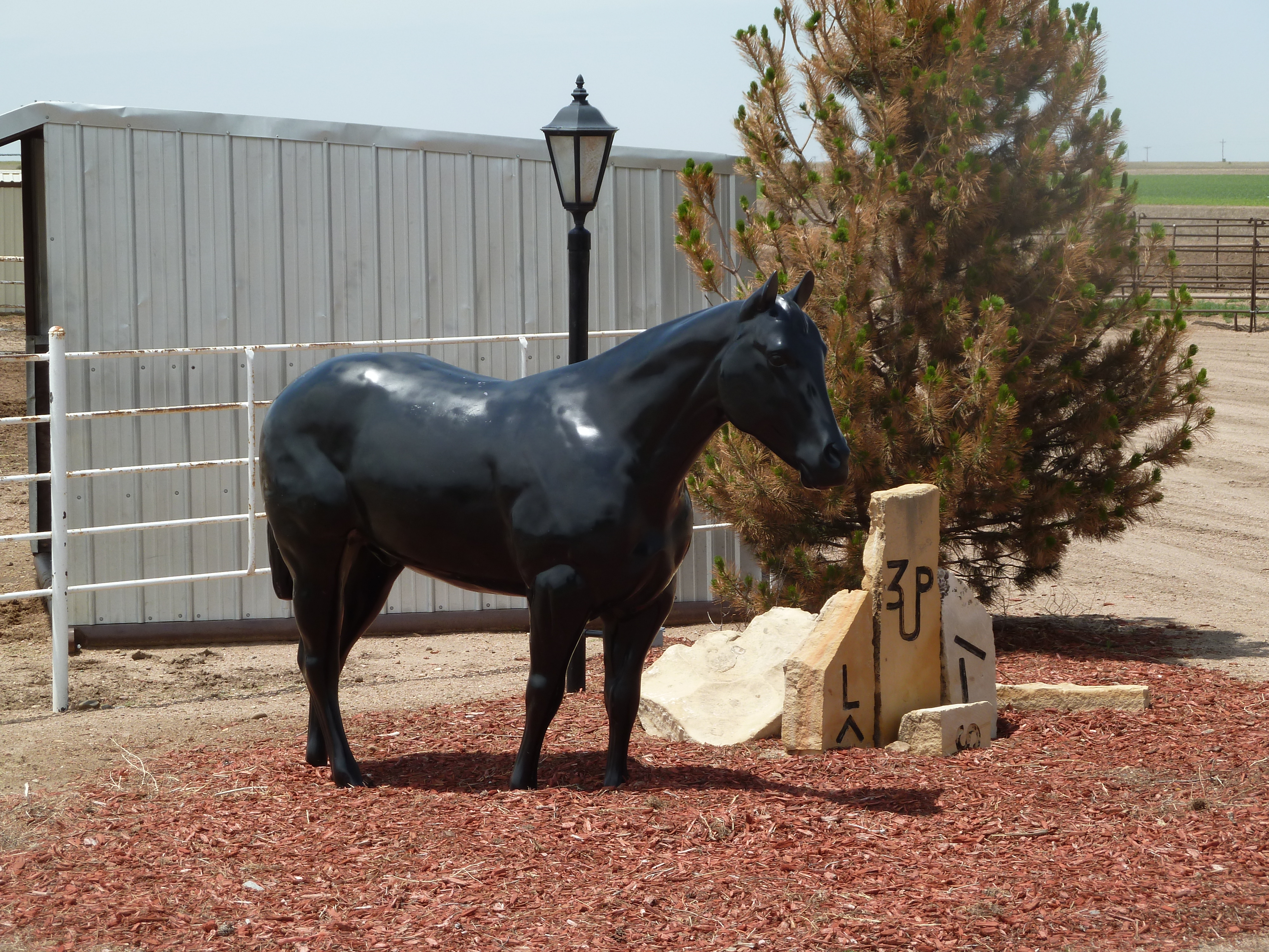 Obviously horse country, with horse art. |
 |
 The "SAG Hags" continue their tradition of unorthodox rest stops. |
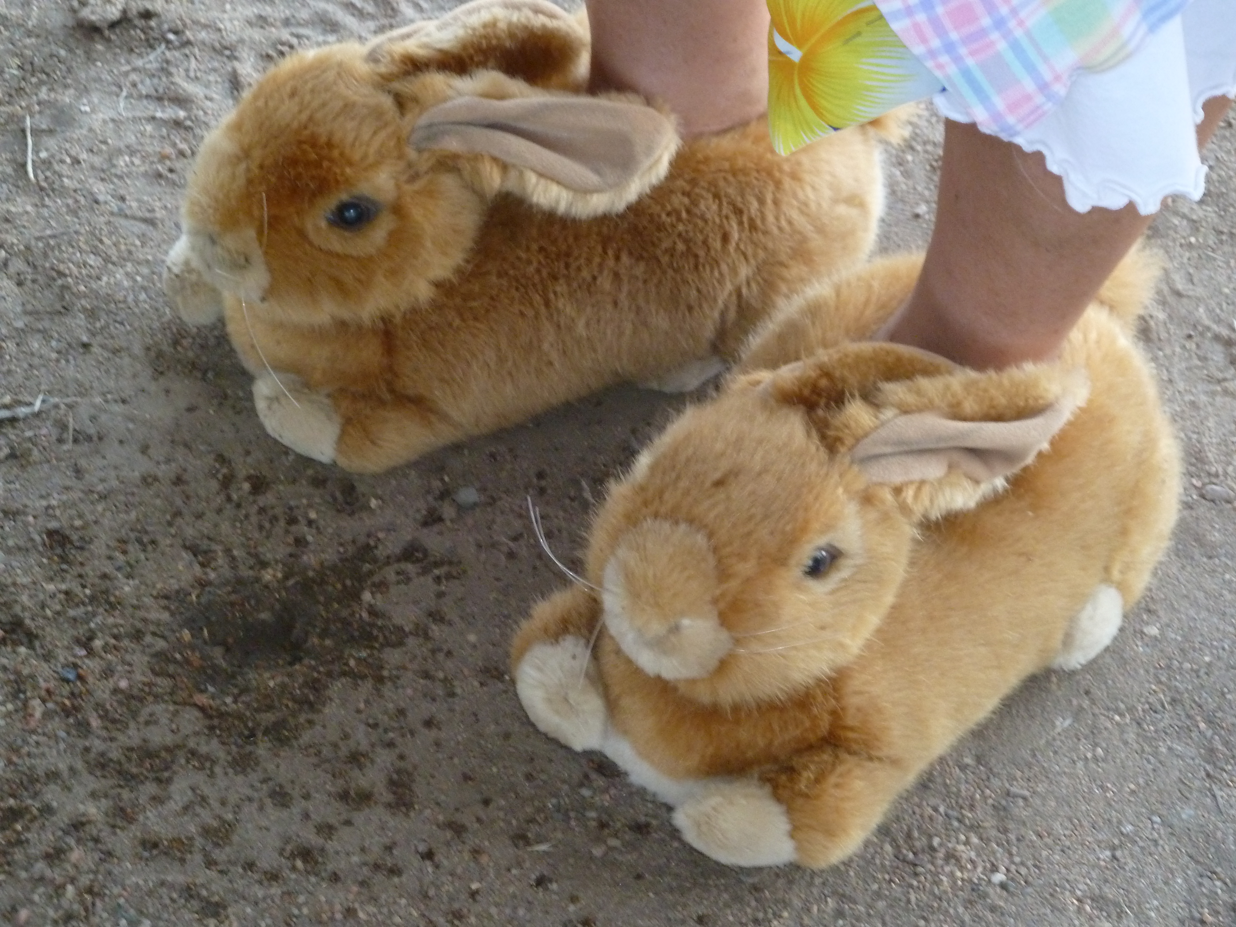 Fuzzy bunny slippers on one of our beloved SAG volunteers. |
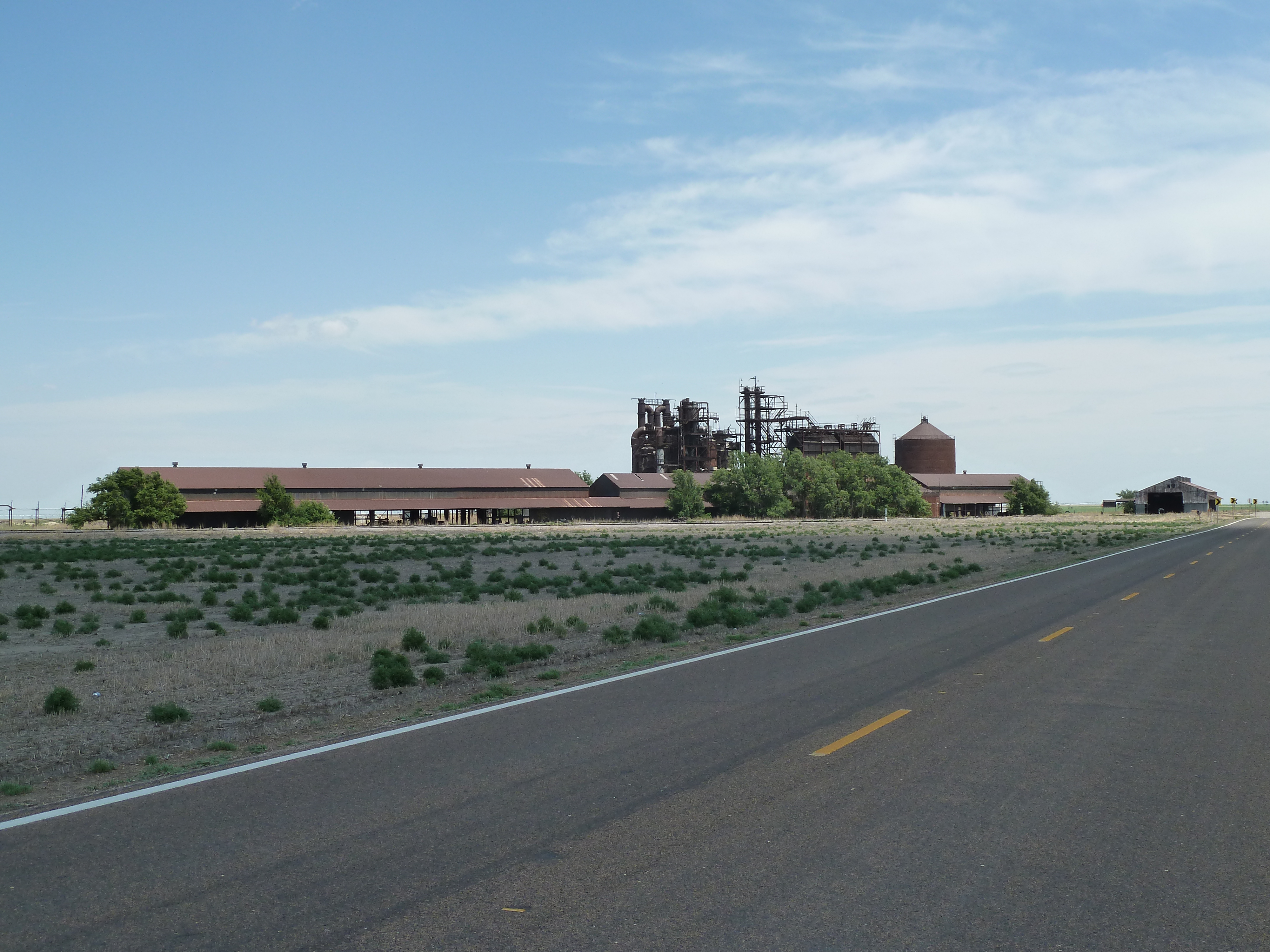 |
 Old carbon black plant outside of Santana. |
 |
 |
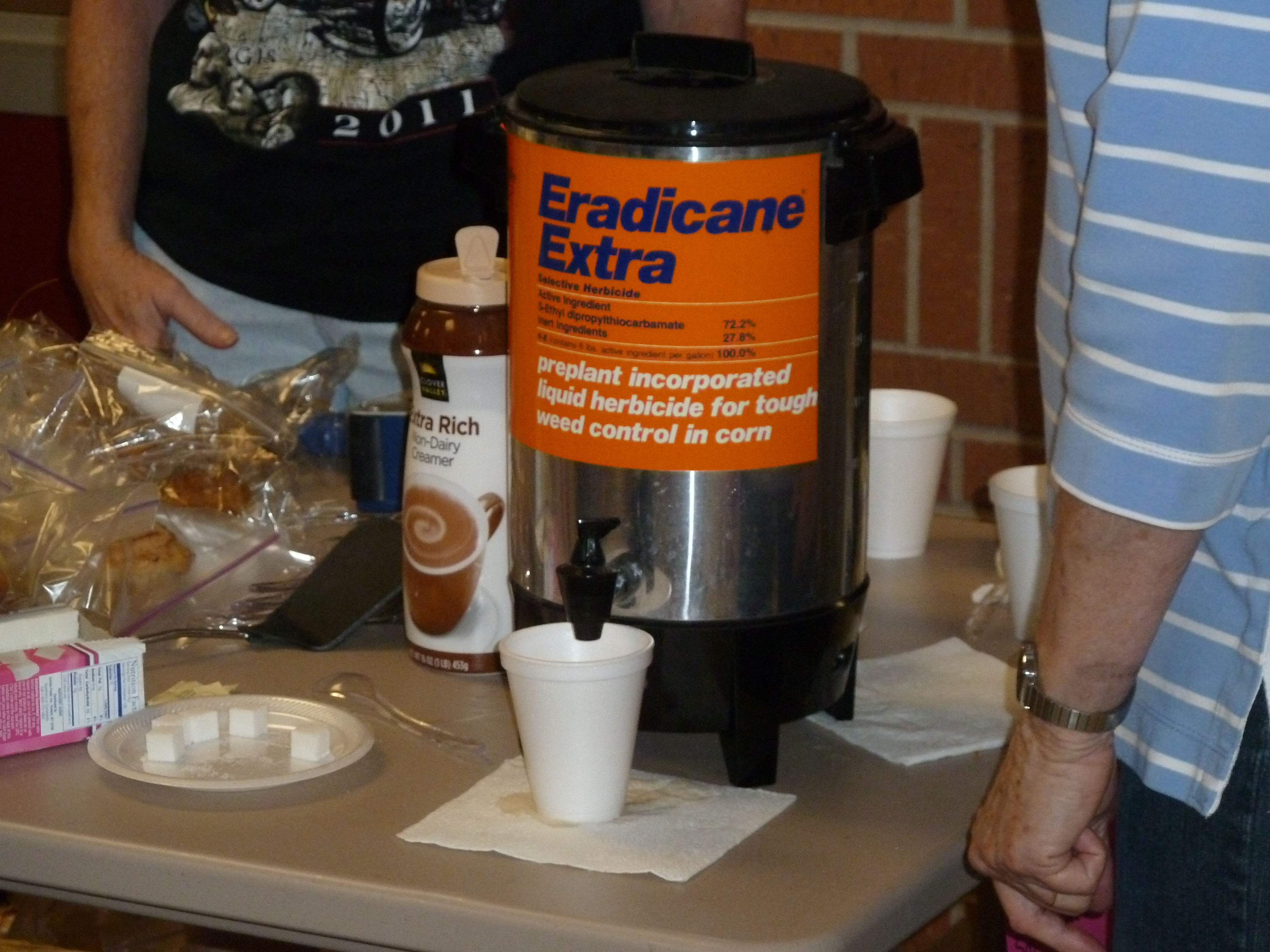 Deadly serious coffee! |
 |
 |
 |
Return to the BAK13 gallery, Vince's main gallery or to his home page.